Four lakes, one pass
This is the version we would walk ourselves. It follows the same Circuit as everyone else, but instead of hurrying the middle section it spends four days collecting the high lakes above the Manang valley, then finishes over Thorong La at 5,416 m.
- Green Lake, about 3,650 m. A small emerald tarn on the high-route trail above Upper Pisang, with Annapurna II and Pisang Peak behind it. You sleep at the lake.
- Blue Lake, 4,150 m. Chindi Tal, in a fold of the hillside above Braga. Turquoise, silent, and almost nobody there.
- Ice Lake, 4,620 m. Kicho Tal, in a hanging basin above Manang, with a 360-degree view across the whole Annapurna range. The hardest day before the pass.
- Tilicho Lake, 4,919 m. One of the highest large lakes on earth, reached across the exposed traverse from Khangsar.
Between them they climb you to 4,150 m, then 4,620 m, then 4,919 m, sleeping low each time, before you go anywhere near 5,416 m. As acclimatisation goes, it is hard to design better.
11-day itinerary, day by day
| Day 1 | Pokhara → Besisahar (760 m) → Chame (2,670 m) by jeep, 9–11 h |
|---|---|
| Day 2 | Chame → Green Lake (approx. 3,650 m), 5–6 h |
| Day 3 | Green Lake → Blue Lake (4,150 m) → Braga (3,450 m), 5–6 h |
| Day 4 | Braga → Ice Lake (4,620 m) → Manang (3,540 m), 10–12 h |
| Day 5 | Manang, village morning, then Khangsar (3,750 m), 2–3 h |
| Day 6 | Khangsar → Shree Kharka → Tilicho Base Camp (4,150 m), 4–5 h |
| Day 7 | Tilicho Lake (4,919 m), then down to Shree Kharka, 7–9 h |
| Day 8 | Shree Kharka → Yak Kharka (4,050 m), 4–6 h |
| Day 9 | Yak Kharka → Thorong Phedi (4,450 m) → High Camp (4,880 m), 3–4 h plus 1–1.5 h |
| Day 10 | Thorong La (5,416 m) → Muktinath (3,760 m), 7–10 h |
| Day 11 | Muktinath → Pokhara by jeep, 6–9 h |
Day 1: Pokhara → Chame (2,670 m), by road
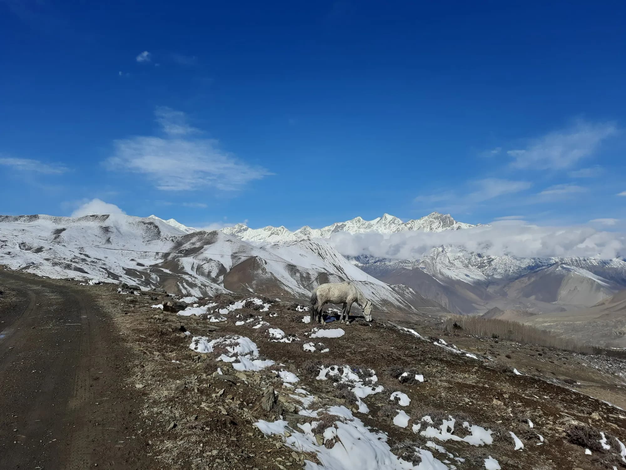
Four to five hours to Besisahar on tarmac, then four to six up the Marsyangdi in a 4WD. Nine to eleven hours in total, and there is no comfortable version of it. You sleep in a lodge at Chame.
Day 2: Chame → Green Lake (approx. 3,650 m)
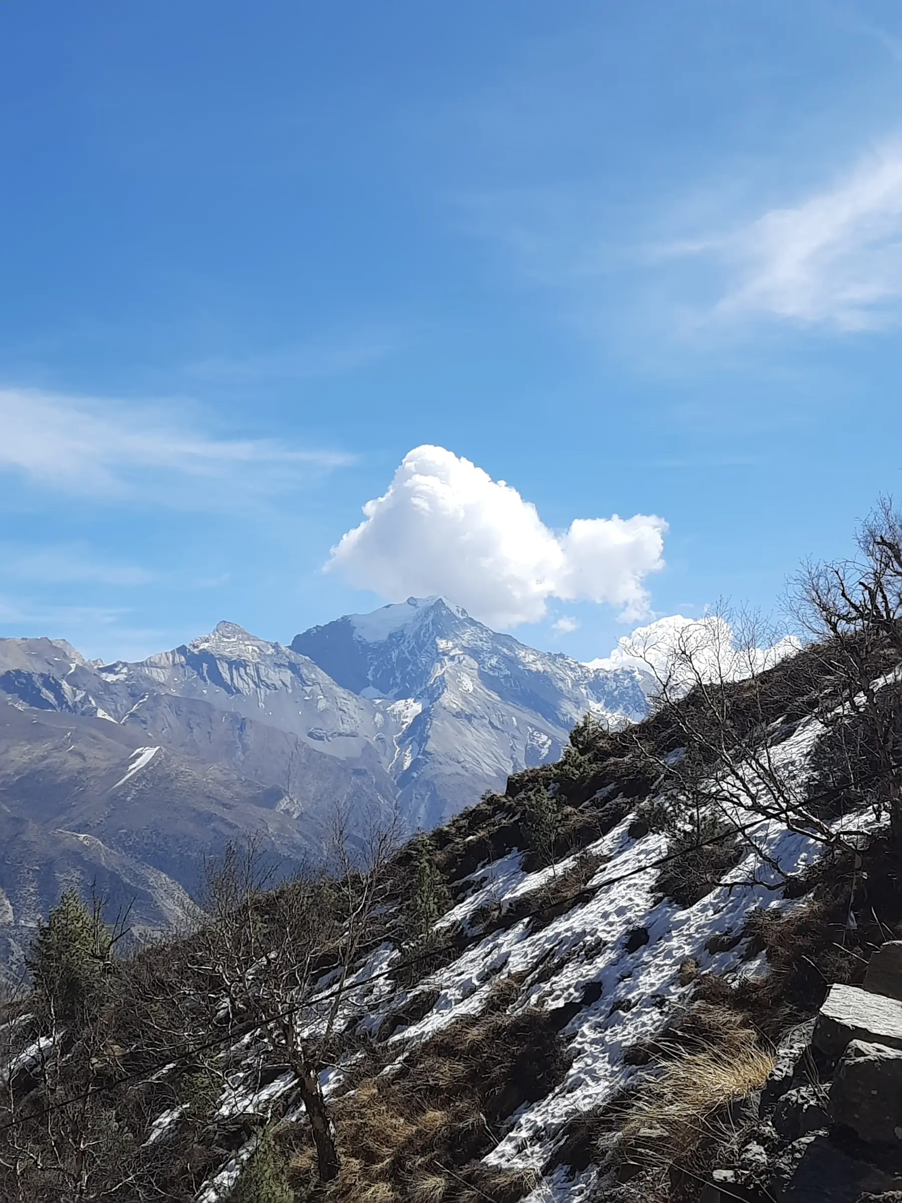
Five to six hours up through the pines and onto the high-route trail, with lunch on the way. You finish at Green Lake, a small emerald tarn set below Pisang Peak, and you sleep there rather than dropping to a village.
It is a 980 m gain in sleeping altitude from Chame, more than the usual guidance, which is why day 3 deliberately comes back down to Braga at 3,450 m. Your guide will be watching everybody closely on this night.
Day 3: Green Lake → Blue Lake (4,150 m) → Braga (3,450 m)
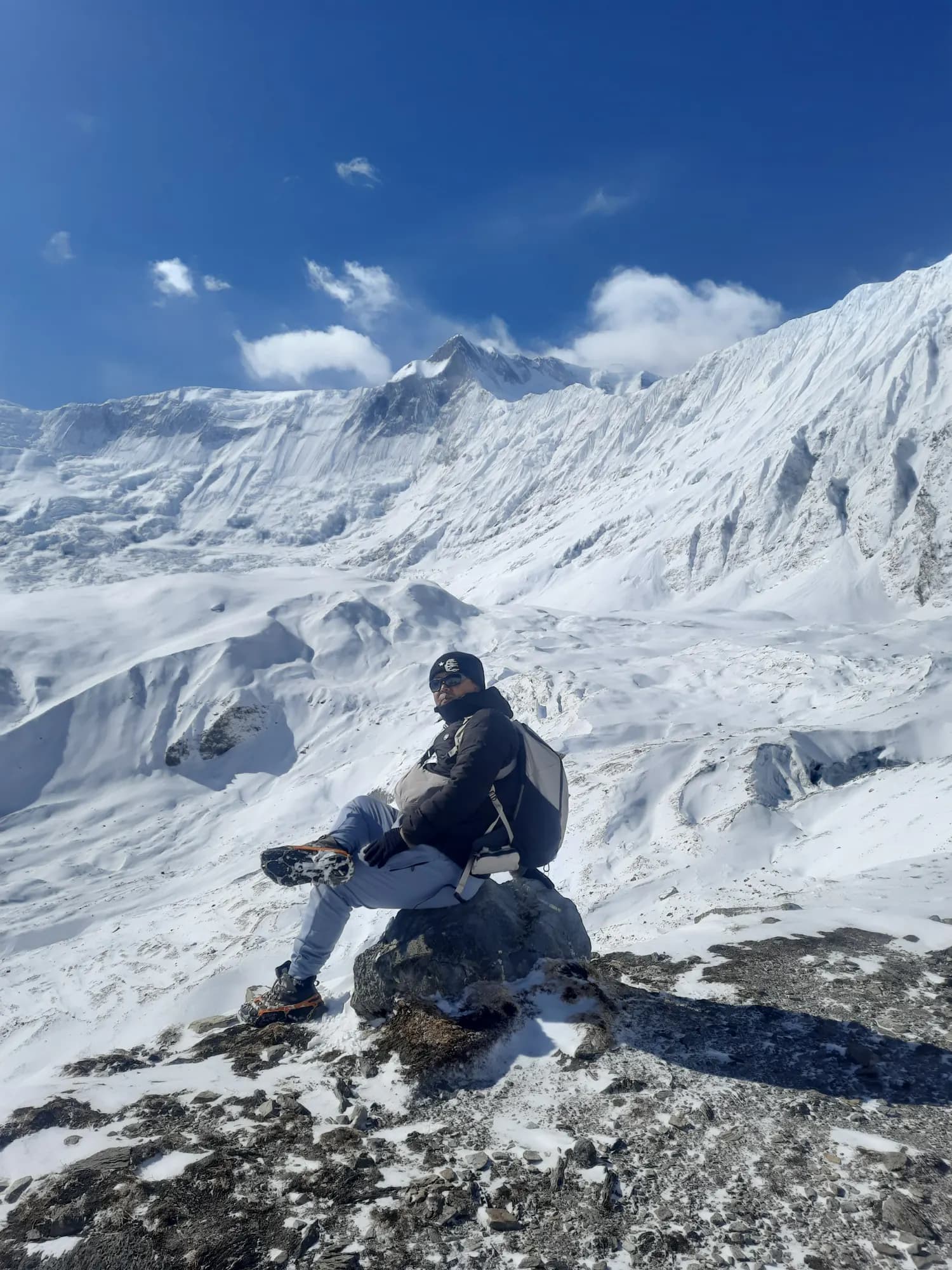
Across to Blue Lake, locally Chindi Tal, at 4,150 m, with lunch at the airstrip village of Humde (3,330 m). Then down to Braga, whose cliff-set gompa is one of the oldest and most striking monasteries in the region.
You touch 4,150 m and sleep 700 m below it. Five to six hours.
Day 4: Braga → Ice Lake (4,620 m) → Manang (3,540 m)
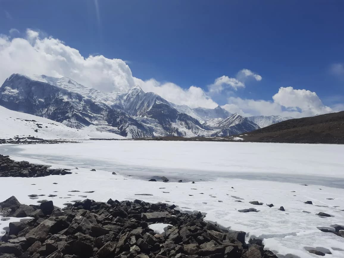
The longest day of the trek apart from the pass. A relentless 1,170 m climb from Braga to Ice Lake (Kicho Tal) at 4,620 m, time at the top, then all the way back down to Manang. Packed lunch, no shelter, no shops.
Count on seven to nine hours of walking plus time at the lake, so ten to twelve hours door to door. It is a big day and we will not pretend otherwise, but from the lake you look across the entire Annapurna range and down onto the valley floor, and very few day walks anywhere give you that.
Days 5–7: Manang → Khangsar → Tilicho Base Camp → Tilicho Lake (4,919 m)
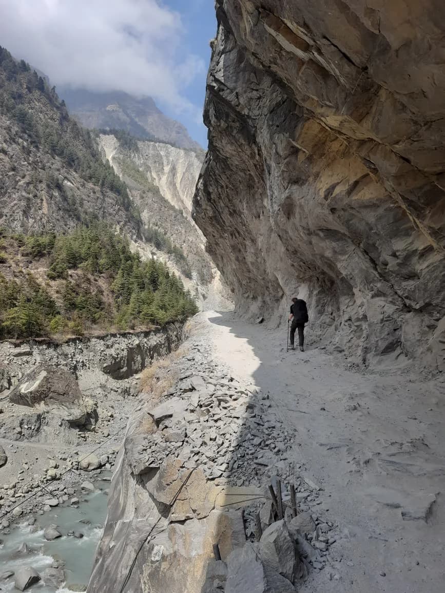
A gentle morning in Manang, then two to three hours up to Khangsar. Next day, four to five hours to Tilicho Base Camp (4,150 m) with lunch at Shree Kharka, including the exposed traverse across loose ground that everybody photographs.
Then the lake: three to four hours up to Tilicho at 4,919 m, two to three back down to Base Camp, and one to two more on to Shree Kharka. Seven to nine hours.
Days 8–9: Shree Kharka → Yak Kharka → Thorong Phedi / High Camp
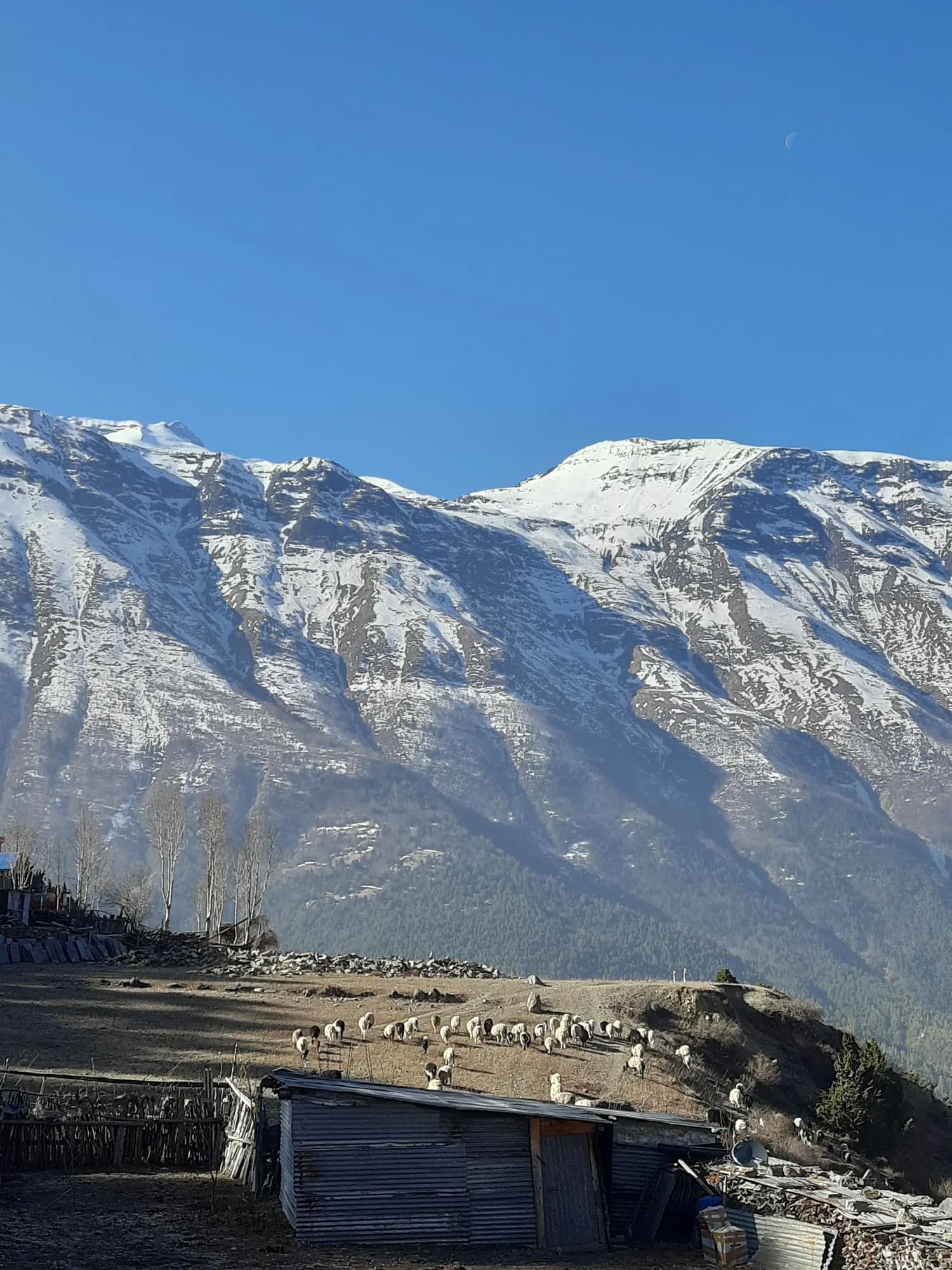
Back across to rejoin the main Circuit at Yak Kharka (4,050 m), four to six hours with lunch on the way, then up to Thorong Phedi (4,450 m) and on to High Camp (4,880 m) if the group is going well.
Days 10–11: Thorong La (5,416 m) → Muktinath → Pokhara
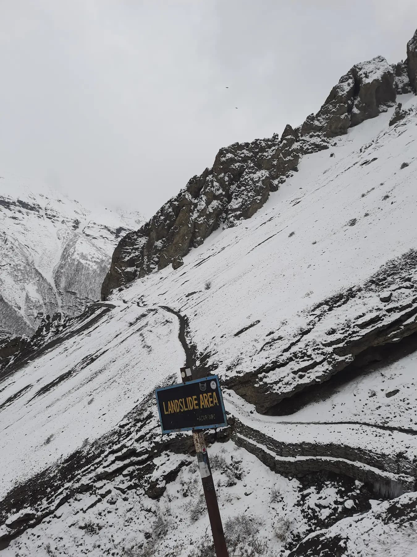
A pre-dawn start, a long steady climb to the flags at 5,416 m, then 1,650 m of descent into the Mustang rain shadow. Seven to nine hours from High Camp, eight to ten from Phedi, and a hard day at the end of a hard trek. Then six to nine hours by jeep down the Kali Gandaki to Pokhara.
Your choice at Manang
Day 5 is a decision point, not a fixed plan. When you reach Manang your guide will talk you through three options, and you pick on the day rather than at the time you book:
- Carry on to Khangsar and Tilicho. The route described above, and what most people choose.
- Drop to Yak Kharka and rejoin the standard route, three to four hours. This skips Tilicho and finishes the trek around day 8, close to our 8-day itinerary. Worth taking if the lakes have taken more out of you than expected.
- Take a buffer day in Manang. Useful if anyone is feeling the altitude, and the obvious place to absorb a delay before you commit to the pass.
The second option shortens the trip, so it changes the price. Tell us at the time and we will settle it honestly rather than charging you for days you did not use.
The altitude profile, honestly
Your sleeping altitudes, night by night:
2,670 m, 3,650 m, 3,450 m, 3,540 m, 3,750 m, 4,150 m, 4,050 m, 4,050 m, then Thorong Phedi or High Camp, then the pass.
Two things are worth knowing before you book. The first is that night 2 is a 980 m gain, Chame to Green Lake, which runs ahead of the usual 300 to 500 m guidance above 3,000 m. It works because night 3 comes back down 200 m to Braga, and because every lake after it is walked climb-high-sleep-low. But it is the one step in this itinerary that needs watching, and your guide will be watching it.
The second is that day 4 is ten to twelve hours, straight after a five to six hour day. That is the price of collecting Ice Lake. If back-to-back long days at altitude do not appeal, the 10-day Tilicho route gets you to 4,919 m without them.
What altitude sickness actually looks like, and what we do about it, is on our altitude sickness guide.
